Map of Phuket
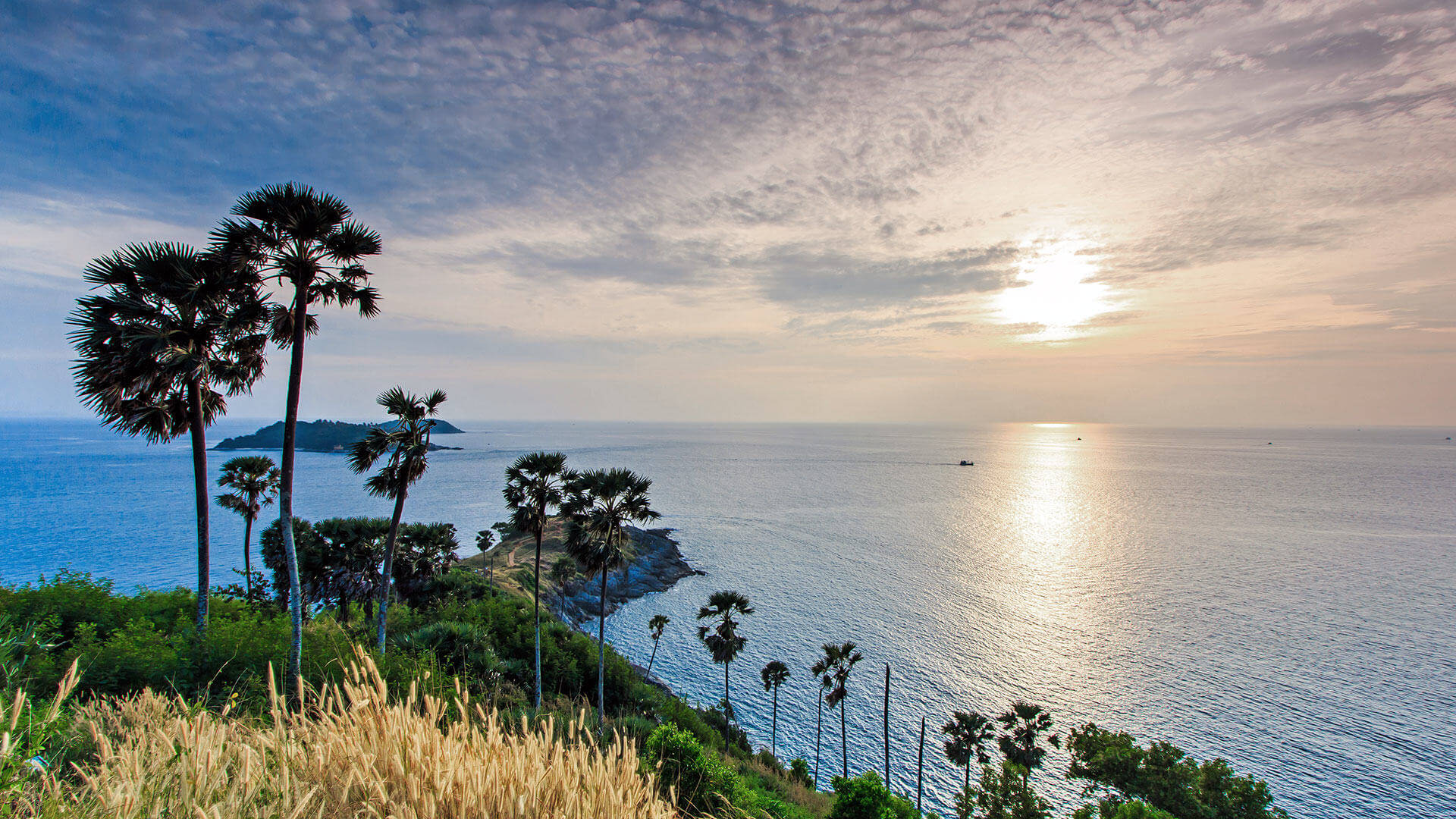
Phuket is the largest island in Thailand and is bigger than most people realise. The land area of Phuket island is more than 500 square kilometers, and it’s over 50km from north to south. The airport is near the northern end of the island about 45km from our location at Karon beach. Along the west coast are many beaches, while the east coast is more mangroves, fishing villages, boat marinas and shrimp farms. The interior is largely agricultural with lots of rubber plantations and fields of pineapples especially in the north of the island. Phuket is a hilly island with the highest point about 540 meters above sea level.
You can find many maps of Phuket online, but these days most people will have a map in their pocket – we suggest downloading Google Maps to your phone, though many phones come ready installed with some kind of map app such as Apple Maps, Maps.me or Bing Maps. On all of these you should be able to search for Sunrise Divers and easily find our location.
For a map of Sunrise Divers location – click here!
Map of Phuket (Google Maps)


